History and Archaeology
|
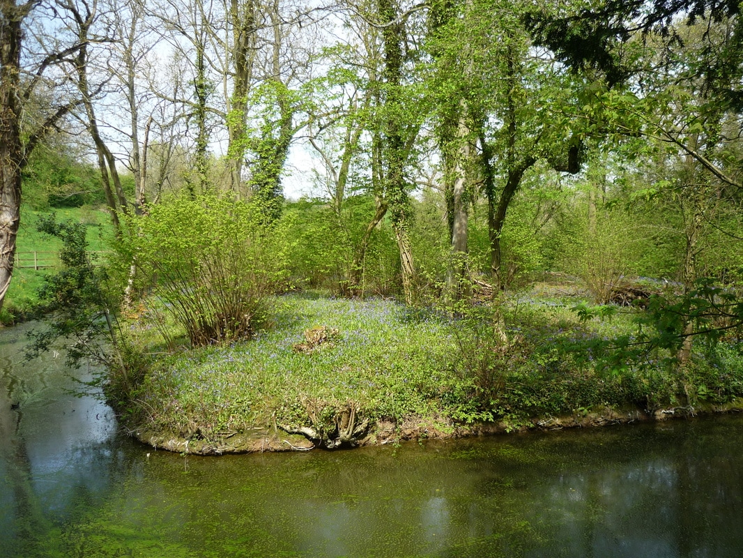
The history of the site is lost in the mists of late mediaeval England. Its main feature is a well-preserved moat surrounding an island thought probably to have had a dwelling at one time but now wooded, together with two mediaeval fishponds. In addition, much of the site features "ridge and furrow", a land pattern common across much of the English Midlands, formed by ox ploughing in the Middle Ages. The 1840 Tithe Map shows that the first field was then two fields; the part above the moat was described as 'Hill ' and the area above and beyond the second pond as ‘Brick Kiln Piece’ – probably where a temporary kiln was set up to make bricks for local use. The second field was named ‘The Dells’ in the Tithe award and later known as ‘The Dingles’ – both terms meaning deep hollows. On the Inclosure Award of 1817 this field was still part of the Open Field called ‘Churchway Field '. The ‘Hill ' is described as ‘the Close including the walk and ponds’ in 1817 and seems to have been part of the old vicarage grounds. |
|
It is known that during the Second World War there was a small practice firing range in the second field with a concrete slit trench which protected the people operating the targets. There are still some visible remains of this trench - care should be taken when walking in this area.
|
|
| english_heritage_sam_map.pdf |